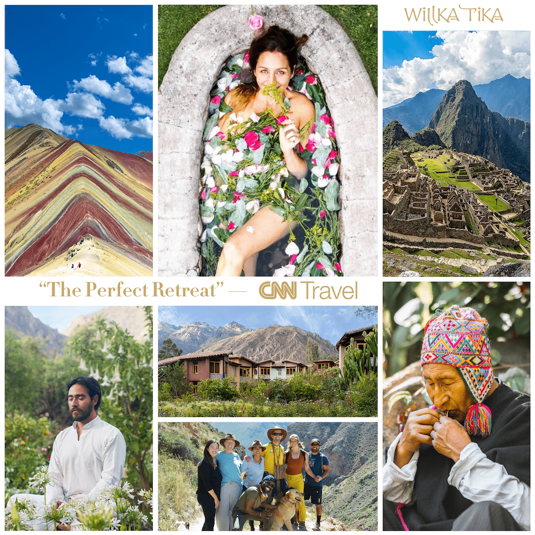
The Real Lost City of the Incas
Trekking to Espíritu Pampa
July, 2025

Vilcabamba to Pampaconas
Vilcambamba means many things to many people. To Hiram Bingham it was the “Lost City of the Incas.” It turned out, however, that that honor actually belonged to Espíritu Pampa, a less impressive ruin dozens of kilometers further into the jungle. Vilcabamba is also the eponymous name of the Vilcabamba District which we explored last month for our colleagues’ Inca Marathon. There we visited the Inca city of Vitcos, Manco Inca’s last capital, as well as the sacred site of Yurak Rumi or Ñustahispana (White Rock). And this month, it would be our last stop before hiking a remote Inca Trail from the school of Pampaconas at 3,350 meters down to Espíritu Pampa at 1,354 meters.
This quaint town of Vilcabamba, built by the Spanish in the 16th-century as a trading center for the mining area, is known for this Franciscan mission or “templo” built on the site of the original church, where the bell-tower still stands.


Pampaconas to Ututu
Once we loaded up our semi-waterproof bags onto our 3 horses and 1 “emergency mule”, the arrieros (horse guides) led us down a beautifully preserved Inca Trail. The large slabs of stone stuck out of the soft pampas and provided purchase for our muddy trekking boots. Hiking down hill while skipping from slippery rock to rock wasn’t exactly easy on the knees, but it was certainly easy on the eyes. While Mario and Jesús looked for trout in the Rio Charcha, I stopped a few times to take photos of the pristine trail. I asked the older arriero, Moisés, if the horses would erode this trail over time. Of course, he said they would not. But Silverio and I shook our heads. We remembered 30 years ago when the famous 4 day Inka Trail to Machu Picchu had once allowed horses. How long would this majestic trail to Espíritu Pampa last?
In under two hours we arrived at Ututu, where a marshy grassland awaited us between the river and an abandoned modern tambo, or resting place. Silverio suggested we sleep inside the wooden guest huts but I was looking forward to camping by the river and listening to the sound of the water from above and below.


Ututu to Vista Alegre
When adventuring in Peru, we have to remind ourselves that many of us roamed the hinterlands not-too-long ago without the help of Google Maps. So when it became clear that none of the campsite locations were identifiable in Google, I reverted to and old-fashioned technology, that of asking directions. Now in Peru, even asking directions requires special training. Although our arrieros Moisés and Crisman knew the trail to Espíritu Pampa and campsites better than any man or machine, we still struggled to get a sense of how far it was to the next campsite. “Dos horas más,” seemed to be the standard response. But after four hours or hiking, I was getting a bit nervous when my Google pin labeled “Vista Alegre” was no closer to our current location than when we started. Fortunately, I knew to trust our guides over Google and sure enough by 1PM we strolled into Vista Alegre in time for a simple lunch of pasta and boiled unkucha roots.


Vista Alegre to Urpipata
We still had about “dos horas más” to get to the next campsite, and then the trekking part of our adventure would end and with some luck, we would have motorized transport to take us the rest of the way to Espíritu Pampa before heading on the very long and bumpy drive home. The trail continued to descend along with the river and we could feel that we were now down to 2000 meters, high jungle, cloud forest or “ceja de selva.” The vegetation had changed and bromeliads could now be seen hanging on the lush trees. The scenery was stunning and even a little scary in a couple places where we had to walk across an avalanche. “Don’t look down,” said Silverio as I scampered across the scree. When I looked back to see how steep it was, I could make out the skeleton of a horse who must have slipped to his doom. “This is why the arrieros wanted us to take so many horses — to reduce their load.”
We had been hiking since 7AM and had already seen Incan ruins, local farmers selling passionfruit and potatoes, oroyas to mechanically cross the river, horse avalanches, and quaint pedestrian bridges. Why weren’t more people doing this trail? The 8 hour drive to the Pampaconas hadn’t been bad. But the 12 hour drive tomorrow would be a lot worse.
At 4PM we walked into a family’s home / hostal at Urpi Pata. They welcomed all of us: tired travelers, smelly horses, wet tents and gear. After taking a peak at the Incan ruin on the outlook, I joined the others for a Pilsen beer, a caldo de gallina and a simple stool to sit on. We were all in our tents by 8PM!


Urpi Pata to Espíritu Pampa
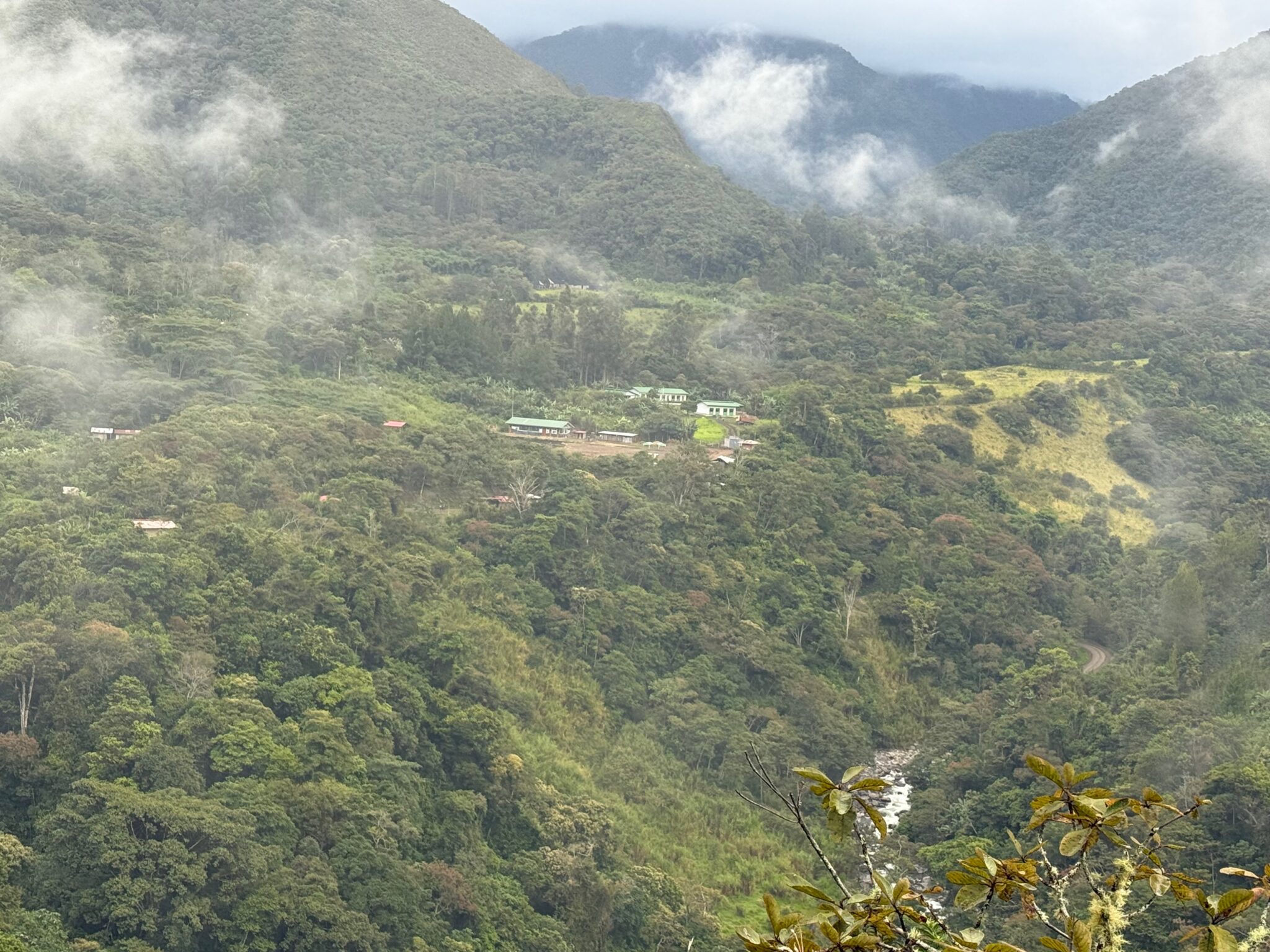
The next morning we were packed and ready to go by 6AM. Mario and Jesús had kindly shared their tent with the two arrieros and the combination of arrieros snoring, dogs barking, and roosters crowing meant that our rest was long but fitful. Rubén was faithfully waiting for us with the Toyota where the road began on the other side of the ravine. To make things easier on the horses, we packed up the bags and carried everything by hand across the river. We bade farewell to Moisés and Crisman and let Rubén drive us down a muddy, windy path past the town of Concevidayoc (1,447 m). After an hour, we could see Espíritu Pampa on a hilltop a few kilometers away. It looked magical and the “spirit” of the place was palpable from a distance.


Stuck in Espíritu Pampa
We pulled into the small town and followed the signs towards the sitio arqueológico. A young girl pointed us in the direction of the Lost City, instructing us to turn right at the junction. As soon as we did, we knew we had gone too far. Facing us was a narrow path of thick, wet mud. Even with a Toyota 4×4, it would be rough going. We all agreed to walk the rest of the way but the truck still needed to turn around and park on drier ground. I took the keys from Rubén. If anyone was going to get the Toyota stuck, it should be me. And I figured I had more off-roading experience than any of the others.
Putting the car in low ratio 4×4, I’d almost completed the 3 point turn when the left rear wheel started to slide. I immediately stopped and instructed the others to push where the wheel was stuck while I used the low ratio to climb out with the other 3 tires. It worked beautifully, for a moment, and then the car lurched forward to escape the mud. I decided to take advantage of the momentum and kept driving up the path, determined to extricate the tire. It almost worked but I misjudged the uneven grade of the “road” and the briefly salvaged tire slipped further down off the trail. We were stuck.


The Lost City
It took us an hour to dig the car out of the mud. Fortunately, the local caretakers loaned us a shovel and a pick and we were able to “dry” out the mud by digging it up and mixing in dirt. We also added rocks to both sides of the stuck tire so I could rock the wheels on top of the new platform. Then with the help of some wooden boards, we created an exit ramp for the slippery rear wheels.
Now we could finally see the mysterious ruins of Espíritu Pampa! We didn’t have to walk far to find the huge complex of barely restored Incan ruins. There were several piles of unidentified Incan rocks and it looked like they were just starting the restoration process, much how Machu Picchu might have been 50 years ago or Choquequirao 20 years ago. I tried to imagine what this would look like in the future and imagined myself coming back in a decade and telling people what it was like to see it without any tourists. Indeed it was special but honestly less impressive than dozens of other ruins we had seen. We spent a couple hours walking around the complex and peaking into the jungle to admire the vegetation and pick some more tubers to eat later.


Homeward Bound
By 10:30AM we were on the road toward Kiteni, the next big jungle town after Quillabamba and that only place among the list of communities that anyone had actually heard of. An hour later we passed a bypass road that went towards Mandorccasa and Pucyura. This is the road that most travelers used to get here and down to Vilcabamba. I guess it wasn’t very common to trek here and those crazy enough to come this far to see some ruins, seemed to be more likely to do so while bike-packing.
Once we passed Kiteni, a former cartel and mining town, nestled in the hills of the jungle, the road opened up with partial pavement and gorgeous views of the Urubamba (Vilcanota) River. By 2:30PM we found a riverside restaurant serving the local classic fried fish delicacy known as “Paco Frito.” We borrowed their shower and sat down for a delicious meal.
By 5:30PM we made a brief stop in Quillabamba to eat an ice cream by the market at Misky Heladería.
It still took “dos horas más” to get to the top of Abra Malaga where the freezing winter chill shocked us when we opened the windows. By 8:30PM, 12 hours of driving (and digging) we were back at Willka T’ika.


Related News